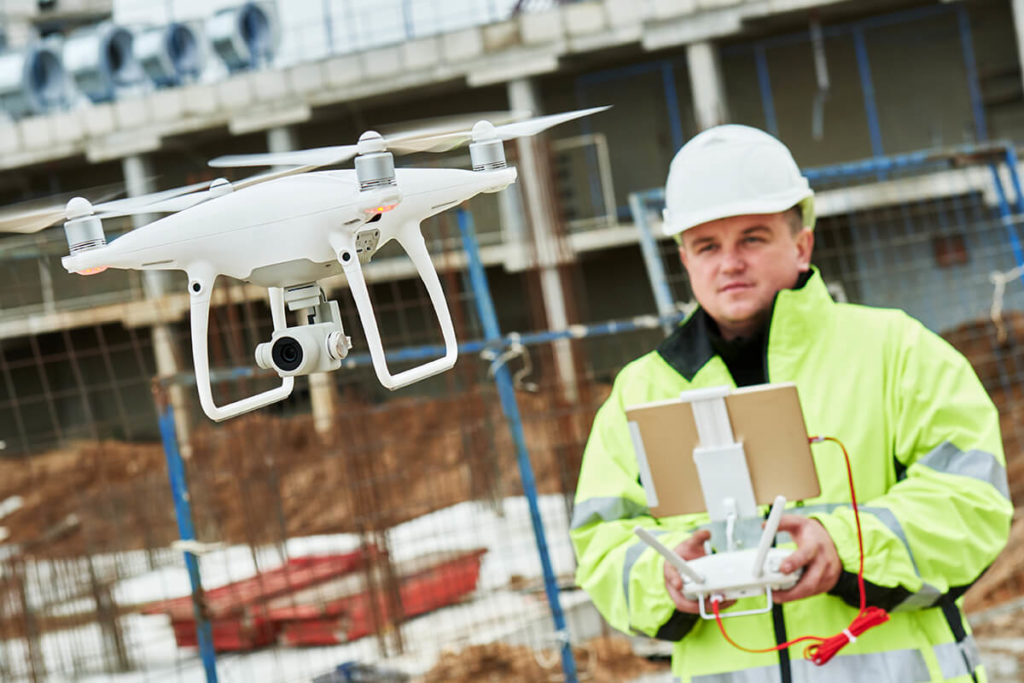
3D by drone and aerial imagery
At Géomog, drones are now an essential 3D capture tool for various surveying projects such as topographic surveys, quarry monitoring, volumetric calculations and various surveys. The outdoor 3D scanner creates high-precision images of buildings and roofs.

Orthomosaic
Using the high resolution images and photogrammetry process, we are able to generate a very high quality orthomosaic (large aerial image) and geo-referenced XYZ point cloud with precision spectra of less than 25 mm on the ground. The margin of error in calculating volumetry is 1%. The images and videos taken by the UAVs can also be used to inspect buildings at height and to monitor and track complex structures such as bridges, viaducts, dams, etc.

Applications
- Career Tracking
- Topographic survey
- Mapping of flood zones
- Volumetric calculation
- Survey as built
- Building inspection
- Surveillance and site monitoring
- Shoreline erosion
Benefits
Fast, precise and simple
Reduced labor costs
High resolution image and video
Coverage of large areas
Simplification of the analysis in preliminary draft
Archiving of the progress of a construction site
Volumetric calculation 1% margin of error
Efficient royalty management
Access to difficult viewpoints
Sectors
- Municipal
- Civil engineering
- Building
- Environment
- Town planning
- Industrial
- Energy
Contact us
now!