Civil engineering
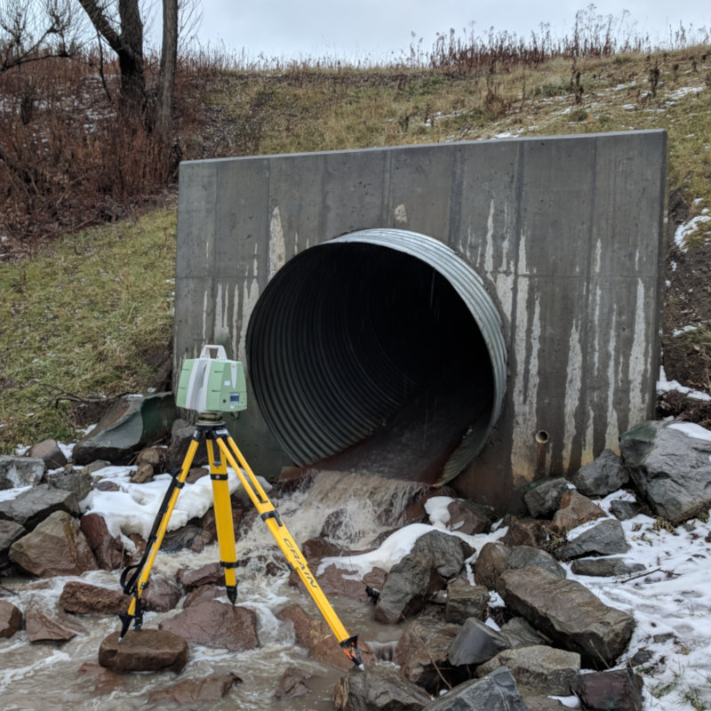
To perform a 3D scanning, we use a variety of measuring devices depending on the elements to be measured and the scope of the project. This technology allows us to easily create digital models of large structures such as roads, bridges, viaducts, tunnels and dams.
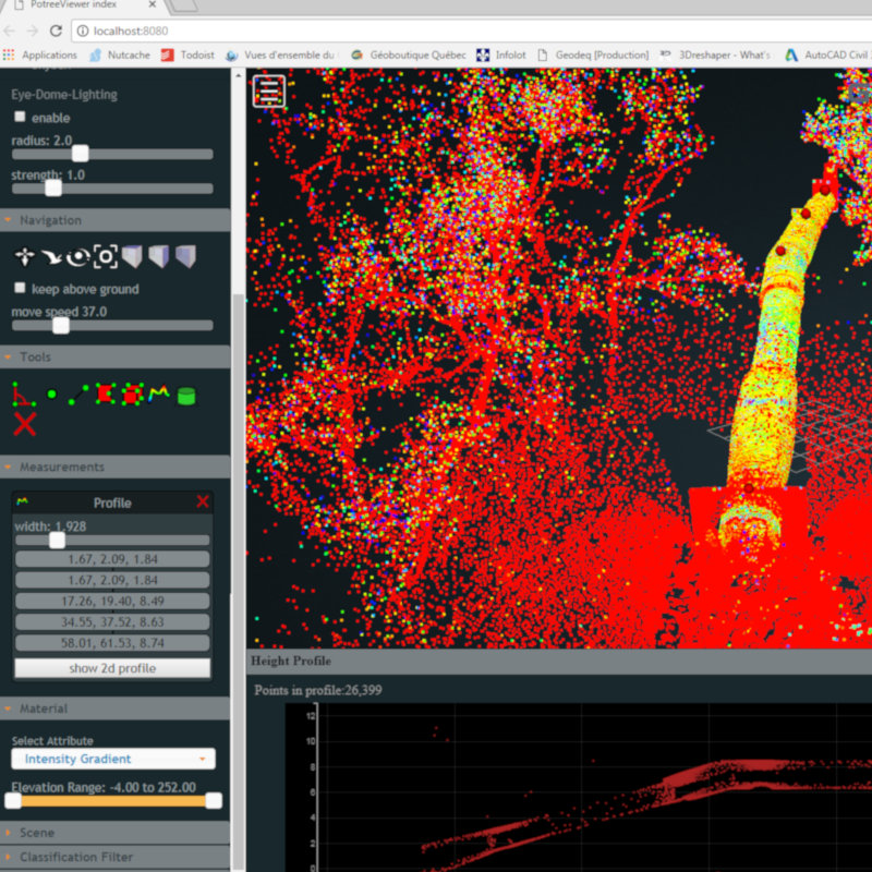
To ensure the highest quality data capture, we use a variety of techniques to create accurate point clouds in any environment. The level of detail obtained is very useful for both early and final (TQC) surveys of existing conditions. In addition, this technology allows quantities to be calculated with greater accuracy than conventional methods.
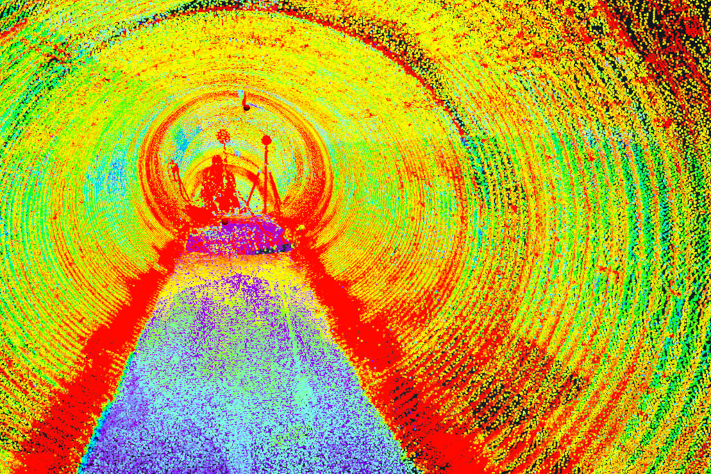
The benefits of 3D scanning
- Time saving: 3D scanning reduces the need for professionals on site.
- Easy data sharing: Thanks to 3D scanning, information is shared and validated more easily and quickly between the various project stakeholders.
- Accuracy: 3D scanning collects data that reduces the risk of design errors. The point clouds offer an accuracy and level of detail that cannot be achieved with traditional techniques.
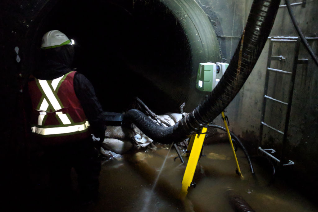
- Security: Data from irregular and hard-to-reach areas can be easily and safely taken from a distance.
- Large-scale projects: 3D scanning is ideal for large-scale projects such as motorways, ports, airports, etc.
- Visualisation: The data collected can be used for communication and marketing purposes by creating visual elements.
Contact us
now!

