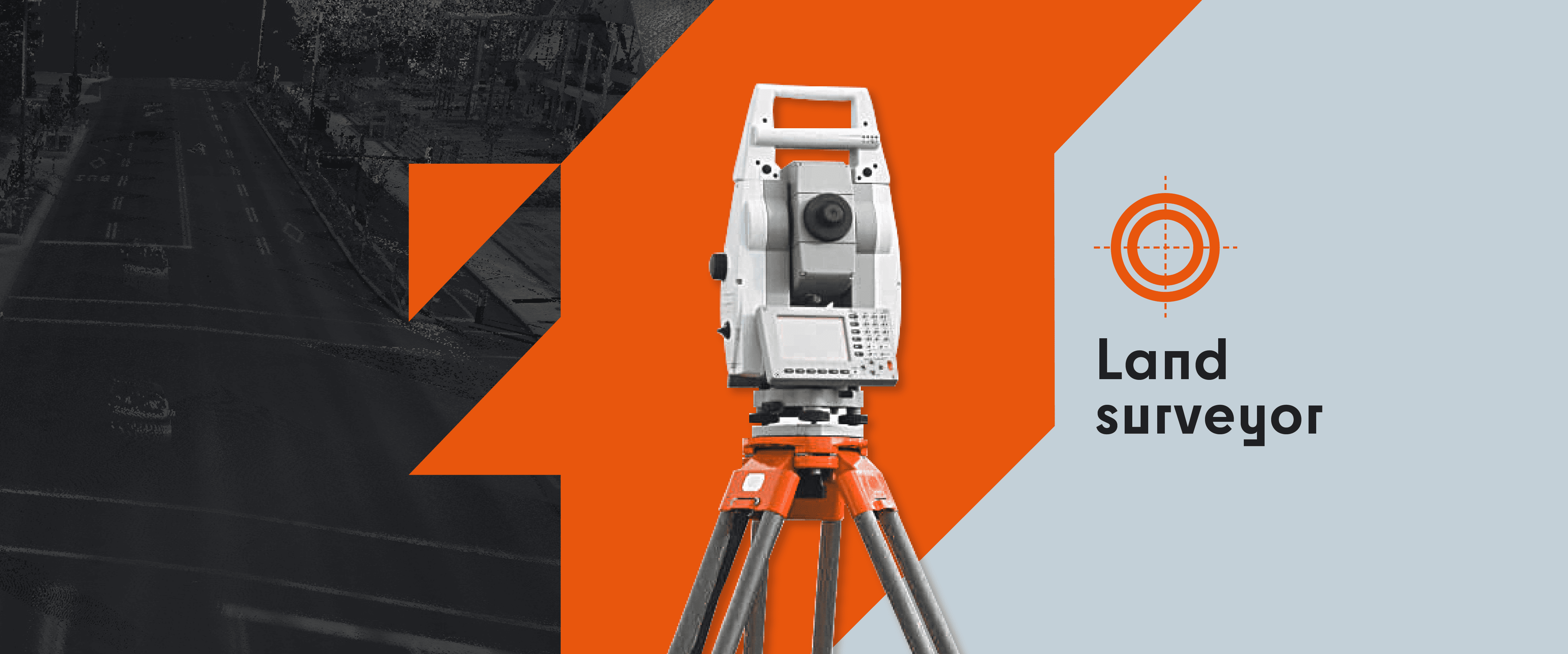
Land Surveyor

About us
The land surveyor is a public officer and member of a professional order. The Act grants it certain powers and several surveying acts are exclusively reserved for it. Four years of university studies, the passing of several scientific, legal, practical and ethical admission exams as well as a one-year professional internship are necessary to obtain the license to practice. The land surveyor is obliged to carry out continuing education to stay up to date and up to date with the latest advances in law and science.
The land surveyor is the professional responsible for work related to land surveying. This sector of activity includes all survey, research and analysis operations related to the delimitation, demarcation and calculation of measurements and areas of private or public landed property.
The documents resulting from the land surveyor’s work generally consist of a report accompanied by a plan bearing a unique number called a “minute”. All of the related minutes and operation notes constitute the land surveyor’s registry and must be sheltered from the weather to ensure its durability.
Géomog Land Surveyor has the necessary qualifications to offer the following services:
A certificate of location is a document consisting of a report and a plan in which the land surveyor decides on the conformity of a real estate or property.
A site certificate is used to indicate the position and dimensions of a future construction on a lot.
The subdivision is a surveying operation which consists of subdividing or grouping lots to allow the sale of plots of land, the construction of a new construction or a real estate development.
Production of official documents and litigation: Géomog offers many expertise and property boundary demarcation services.


